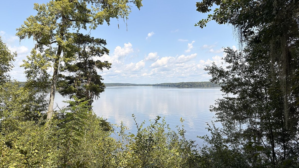
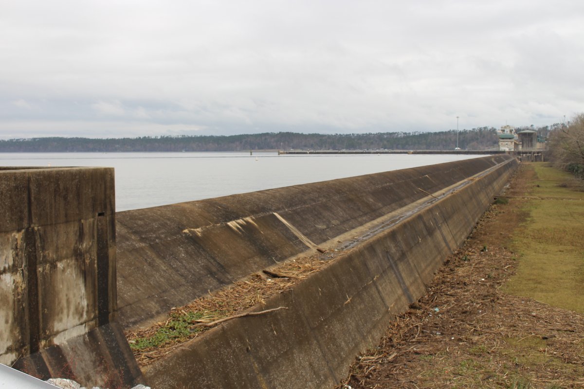
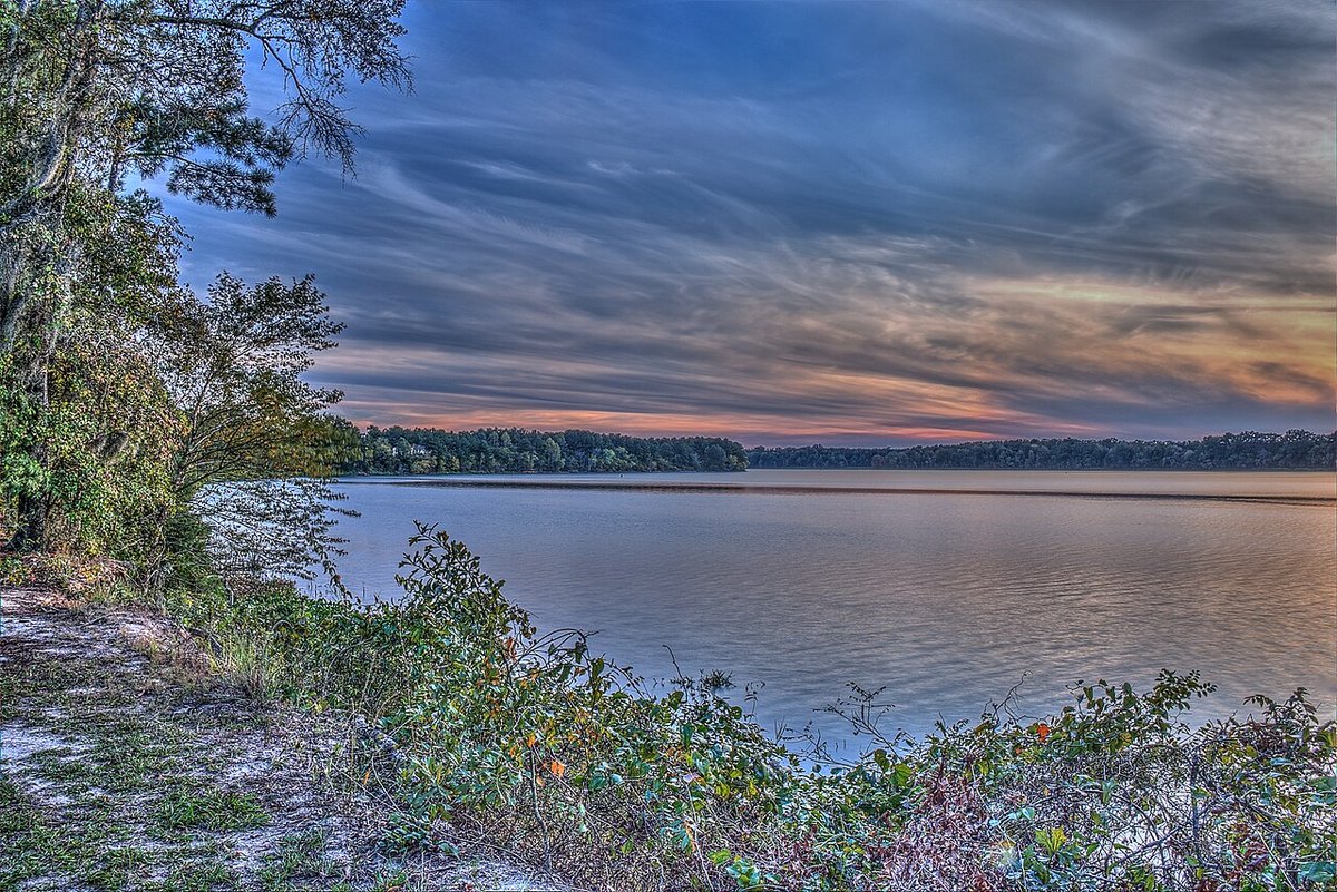
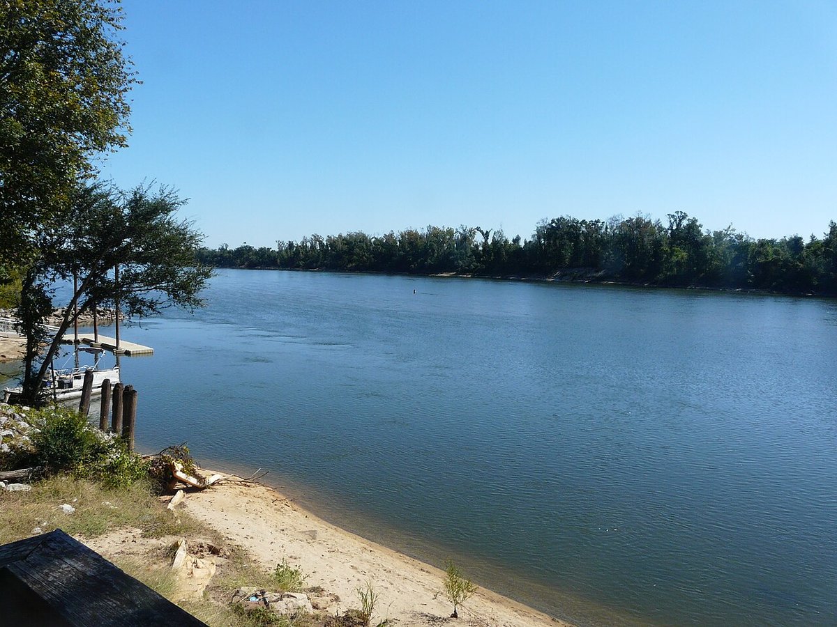
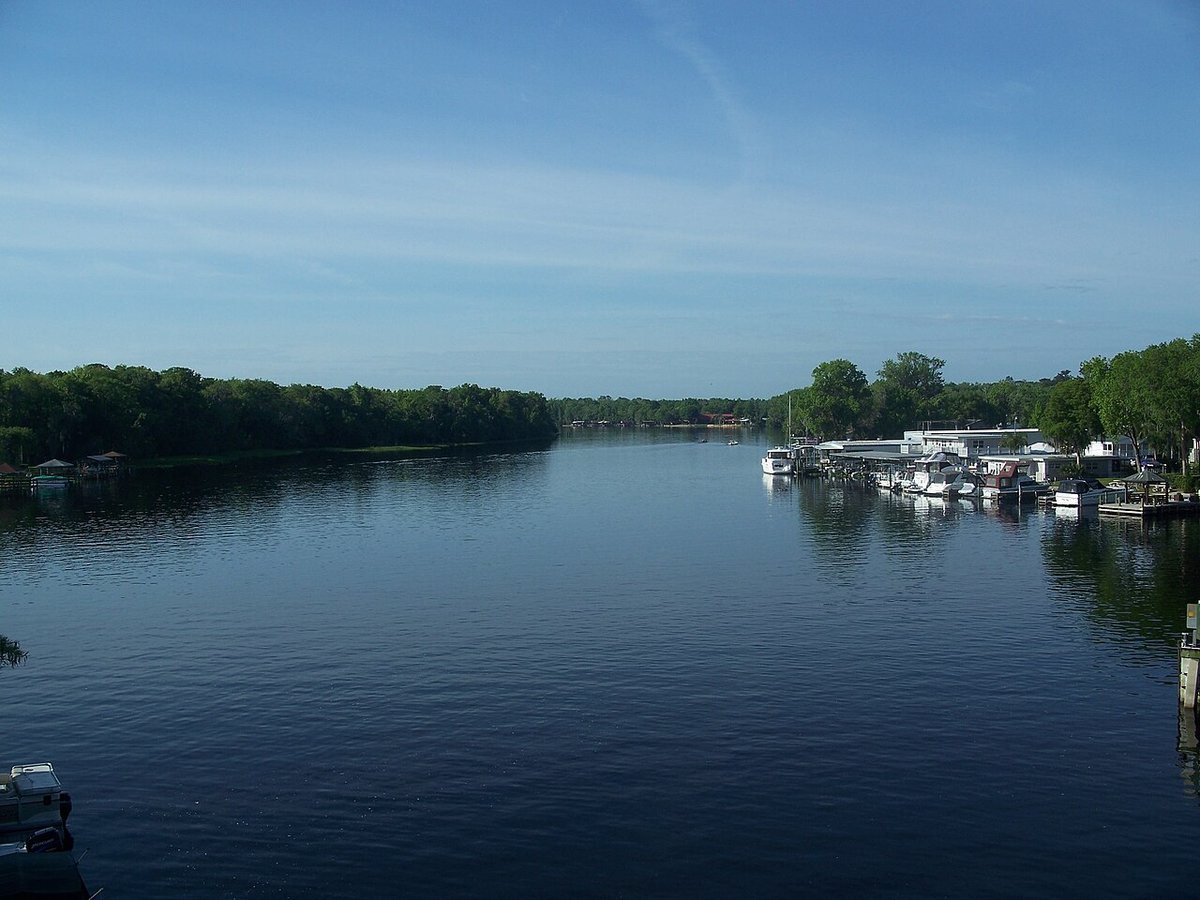
Lake Talquin is a man-made reservoir created when Jackson Bluff Dam backed up the Ochlockonee River to generate hydroelectric power. Its name combines Tallahassee and Quincy. In 1970, Florida Power Corp. donated the land for Lake Talquin State Park.
The stumps still scattered through the lake are remnants of the floodplain forest that stood here before the water rose. Along the southern shore, wooded bluffs overlook the water, while the park protects deep ravines threaded with small seepage streams.
Lake Seminole is a man-made reservoir behind Jim Woodruff Lock and Dam, built for hydroelectric power and navigation. It covers roughly 37,500 acres along the Florida–Georgia border. The Chattahoochee and Flint meet here, then continue below the dam as the Apalachicola.
Its two main arms reach 30 miles up the Chattahoochee and 35 miles up the Flint. Beyond the open water, Seminole State Park preserves longleaf pine and wiregrass habitat, with gopher tortoise burrows along its nature trail.
Also called Walter F. George Lake, this man-made stretch of the Chattahoochee was built for navigation and hydroelectric power. Construction began in 1955. The reservoir extends 85 miles along the Alabama–Georgia border, with bends and creek arms adding up to 640 miles of shoreline.
North of the city of Eufaula, the Eufaula National Wildlife Refuge spans both banks of the river. Established in 1964, it shelters wintering waterfowl and other migratory birds among wetlands, woodlands, grasslands, and open water.
From Lake Seminole, the Apalachicola winds south to its namesake bay, carrying freshwater and nutrients from the interior to the coast. During the 1830s and 1840s, steamboats carried cotton down this route for export. Timber later became the main cargo, and sawmills lined the river.
White tupelo trees in the river swamps give the area its distinctive honey. Near Wewahitchka, the Lanier family has harvested tupelo honey for more than a century.
The St. Johns flows north from marshes south of Melbourne to the Atlantic at Mayport. Ancient barrier islands blocked a direct route east, helping shape its northward course. Lake George, part of the river, receives water from Silver Glen Springs, Salt Springs, and Juniper Springs.
Other springs feeding the river include Blue Spring and Alexander Springs. With so little downhill slope, Atlantic tides can push water upstream. During low water, that reversal can reach Lake Monroe, 161 miles from the river’s mouth.
History and geography were checked October 3, 2026 using state parks, the U.S. Army Corps of Engineers, the U.S. Fish & Wildlife Service, FWC, the St. Johns River Water Management District, Florida DEP, and FAMU–FSU research. Each profile links to its main agency source.
Photographers and licenses are linked beneath each image. Photos are resized or recompressed and cropped for display; their listed licenses continue to apply.